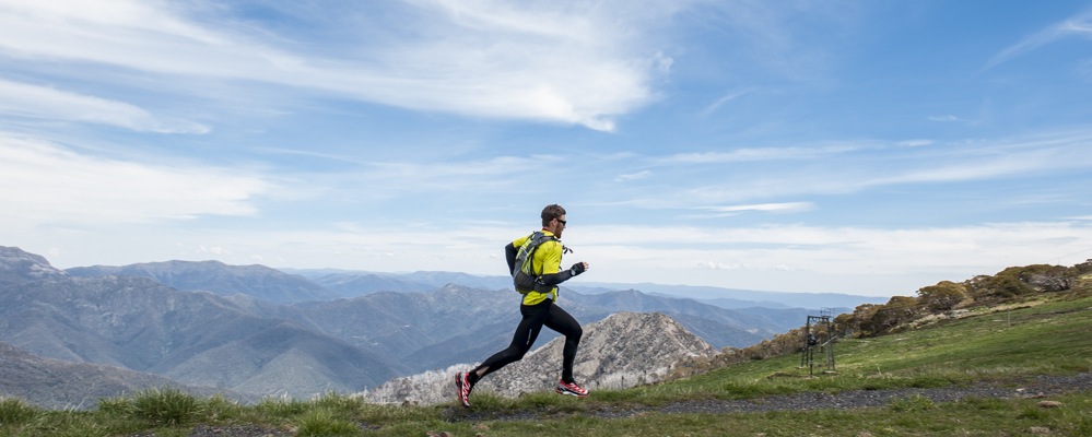
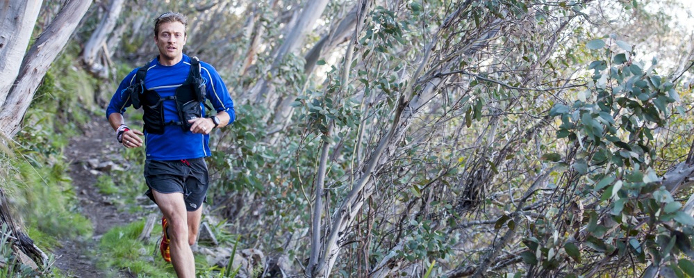
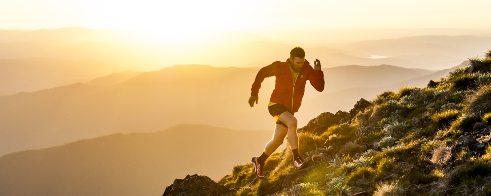
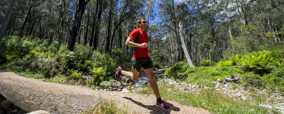
Trail running at Mt Buller
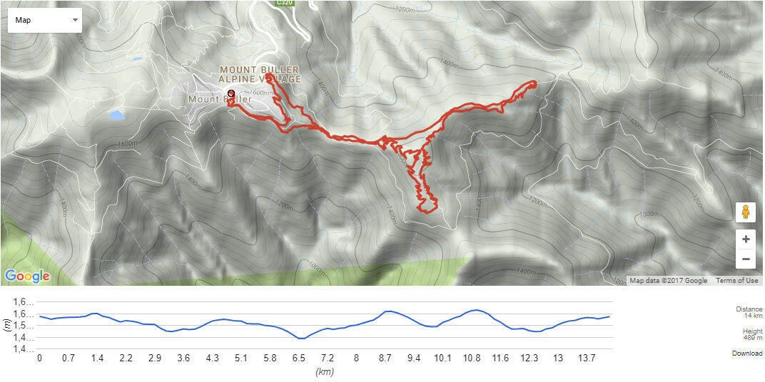
Located an easy three hour drive from Melbourne, Mt Buller sits at the top of any trail runners bucket list. With more than 40km of smooth single track complemented by rugged fire roads, steep ridgelines and everything in between, Mt Buller allows runners to truly reach their peak.
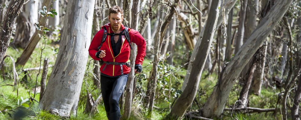
The resort has 16 trail running routes that have been specifically audited and rated for trail runners, so you know what to expect from your mountain experience. These courses range from beginner trails that take in the fantastic sights of the alpine Village, through to 21km advanced trails that journey out into the alpine wilderness, so there’s something to suit all levels of runners. No matter which path you choose, you’ll enjoy varied terrain, pristine air and stunning scenery.
Use the Mt Buller Village as a base and enjoy a selection of great food and beverage outlets, information services, mountain hospitality and access to a variety of accommodation options starting from just $45 per night.
Accommodation
To book accommodation at Mansfield and Mt Buller visit mansfieldmtbuller.com.au.
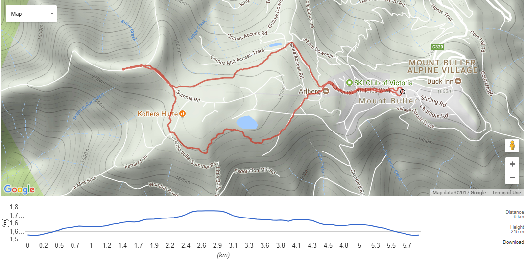
"An easy loop run that adds a very short climb to the Buller summit for big views."
DISTANCE: 5.9 km
TRAIL TYPE: Loop
COMBINED ASCENT/DESCENT: 267 metres +/-
RUN RATING: 15/45
START: Clock Tower in the Village Square
FINISH: Clock Tower in the Village Square
ESTABLISHED TRAIL NAMES: Summit Nature Walk
GEOGRAPHIC REFERENCES: Mt Buller, Summit Carpark, Burnt Hut Reservoir
TRAIL HIGHLIGHTS: Summit view, fun singletrack on the south side of Baldy.
MAPS AVAILABLE: Mount Buller Walking Trail Maps
THE RUN
Beginning from the centre of the village in front of the clock tower, run up Athlete’s Walk, past Foodworks and later the ABOM hotel and onto Summit Road. Continue up until you see the Arlberg Hotel on your left. To your right there is a pathway that leads to a wooden shelter. Get off that boring bitumen and hit the dirt trails.
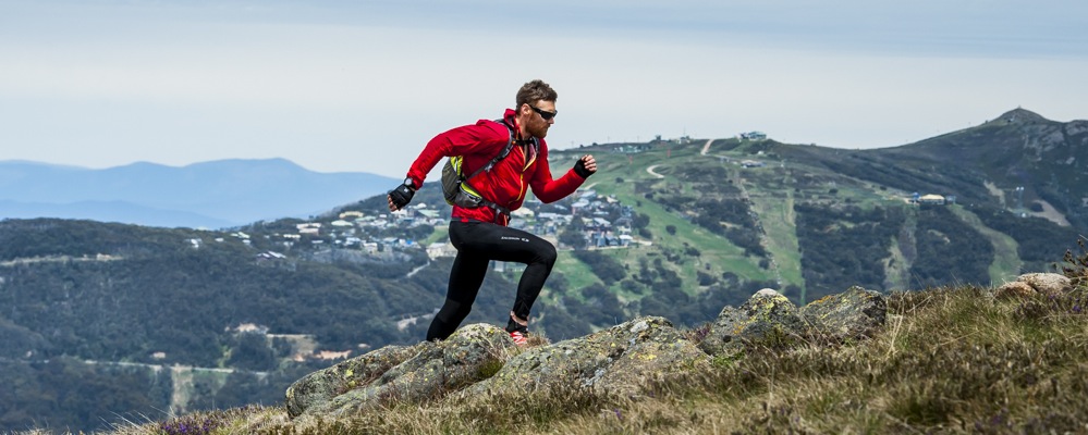
The trail sweeps around the northern flank of Baldy Summit, skirting above the Northside Discovery Centre (the trail hooks left just prior to reaching it, crossing a road) and Burnt Hut Reservoir before continuing on a slight, runnable incline and nice smooth trails towards the summit car park. There are some good vistas across the ranges including to Razorback Spur on a clear day. Hitting the Summit Carpark, look for the summit signs on an out and back run to the high peak of Mt Buller (1805m). Here you will take in more alps views in all directions.
From here it’s a downhill run all the way home. At the Summit Carpark, veer right to run along the southern side of Baldy, following the single trail (careful not to accidentally take one of the many criss-crossing trails heading down!). You will run on some mildly technical singletrack, crossing a dirt road below the Koflers building before running below a dam. This is a fun little section that gently descends as it winds across the southern face of Baldy. The Summit Nature Walk Trail will then spit you out near Skyline, opposite the Arlberg Hotel. Make your way behind the hotel to once again pick up the Summit Road (or you could run down the Bourke Street ski run – be wary of drainage ditches) before picking up Athlete’s Walk and the final dash into the Village Centre.